Health Population Profiles
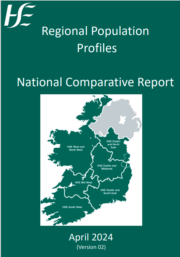
The HSE is organised into six Health Regions, each region providing health and social care services for people in the area.
Regional Population Profiles for the six Health Regions provide an 'At a Glance' insight and understanding of the key demographic features of our population which will inform and support the planning of our health services. The profiles provide an overview of each Health Region and the Community Healthcare Networks (CHNs) within the Region, including maps and selected demographics for each CHN.
In addition, population profiling maps are provided for Community Healthcare Networks (CHNs). These and the regional maps are derived from Health Atlas Finder.
All of the maps contained here can be viewed in higher definition and can be overlaid with boundaries and services in the Health Atlas Finder.
In addition, users can view maps in Health Atlas Finder at smaller geographies, e.g. Primary Care Team (PCT, around 10,000 people), Electoral Division (ED, around 1,000 people) and CSO Small Area (SA, around 200 people). This gives a much more granular and local view of the population.
As well as mapping, Health Atlas Finder also provides tables of 96 Census variables (from CSO), tables of health behaviour estimates (from Healthy Ireland) and tables of self-reported morbidity, or illness (from TILDA).
National Comparative Report 2024
 This comparative report builds on the current Population Profiles developed for each Region. It provides a profile of the overall population through the agreed set of parameters to inform and support the planning of health services. For each parameter a comparison is provided across the six Regions and at national level. Version 03 is the most up to date version of the National Comparative Report April 2024 (This version was uploaded on the 30th July 2024)
National Comparative Report Regional Population Profiles.pdf (size 1.2 MB)
HEALTH REGION: DUBLIN AND NORTH EAST
HEALTH REGION: DUBLIN AND MIDLANDS
HEALTH REGION: DUBLIN AND SOUTH EAST
HEALTH REGION: SOUTH WEST
HEALTH REGION: MIDWEST
HEALTH REGION: WEST AND NORTH WEST
